The Earth's gravitational shape
The Earth's gravitational shape
Souce
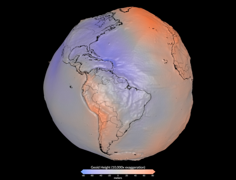
This image published by NASA shows the Earth's geoid—a representation of Earth's surface gravity. Released on July 15, it is a 3D visualization of the geoid based on gravity, showing what it would look like.
Souce
The point I want to make is that the Earth's polar flattening is not something we could perceive visually; it is a nearly perfect sphere. While there is a difference between the equatorial radius and the polar radius, it is visually imperceptible. Furthermore, the gravitational aspect—which is what we are looking at here—has been exaggerated so that we can see the variations in surface gravity.
Souce
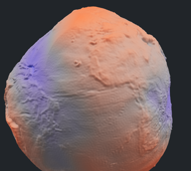
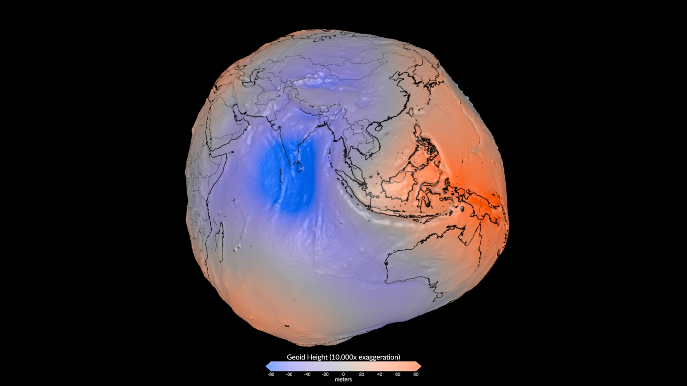
The first thing to notice is that bulge up above Europe—that red bump that looks like something out of an old cartoon; that marks the area of highest surface gravity. It is located in Iceland, where the surface gravity creates a rise of over 85 meters—essentially an 85-meter accumulation. Conversely, the minimum—though not visually apparent since the Earth is essentially a solid mass—would be the gravitational depression in the Indian Ocean south of India; that blue zone represents the lowest point. Gravitationally speaking—specifically regarding surface gravity—the level there drops to -106 meters at the center of that gravitational well.
Souce
In other words, relative to Earth's mean sea level, the surface at that point in the Indian Ocean sits 106 meters lower; if you were traveling there from Africa or Malaysia, you would effectively descend 106 meters by the time you reached southern India. You wouldn't actually notice it—since the area spans 3 million square kilometers, the slope would be negligible—but that 106-meter difference exists because gravity is weaker there.
The images without reference were created with AI
Thank you for visiting my blog. If you like posts about #science, #planet, #politics, #rights #crypto, #traveling and discovering secrets and beauties of the #universe, feel free to Follow me as these are the topics I write about the most. Have a wonderful day and stay on this great platform :) :)